.jpg)
Mallorca Planer · Independent travel guide
Alcúdia, Pollença and Formentor: the north of Mallorca
The north of Mallorca is made up of two wide bays, the Badia de Pollença and the larger Badia d'Alcúdia, and ends at Cap de Formentor. Between long sandy beaches lie the walled old town of Alcúdia and the S'Albufera wetland.
63 activities46 km straight line to the airport5 places on the map
Photo: Adam Jones from Kelowna, BC, Canada, CC BY-SA 2.0, Wikimedia Commons
Stay
Places to stay in Alcúdia and Pollença
Pick your dates and compare what is free in this region.
Dates
Adults
Updated on 2/10/2026
In short
Alcúdia and Pollença form the north of Mallorca. Alcúdia has an old town ringed by a medieval wall and a long sandy beach that runs through three municipalities as far as Can Picafort, while Pollença lies about six kilometres inland from its harbour, Port de Pollença. Cap de Formentor is the northernmost point of the island. The ferry to Ciutadella in Menorca leaves from the port of Alcúdia.
Key points
- The town wall of Alcúdia was begun in 1298 and finished in 1362.
- The sandy beach of the Bay of Alcúdia runs through three municipalities: Alcúdia, Muro and Santa Margalida.
- In Pollença a stairway of 365 steps leads up Calvary hill.
- The road from Port de Pollença to Cap de Formentor is 13.5 kilometres long, and the lighthouse opened in 1863.
- S'Albufera de Mallorca is a wetland of about 1,650 hectares behind the dunes of the Bay of Alcúdia.
What defines the north of Mallorca
The north-east coast of Mallorca is shaped by two bays: the Badia de Pollença and the larger Badia d'Alcúdia. The town of Alcúdia lies between them, and the Formentor peninsula follows to the north. Pollença is already one of the municipalities of the Serra de Tramuntana. According to Wikidata the municipality of Alcúdia has 21,907 residents and Pollença 17,807 (both 2025).
The region combines long, wide sandy beaches with mountains in view. Most hotels are in Port d'Alcúdia and along Platja d'Alcúdia. To the south the beach continues without a break into Platja de Muro, which belongs to the municipality of Muro.
Towns and places in the north
- Alcúdia old town: The old town is well preserved and surrounded by a medieval wall. King James II founded the town in 1298, the wall was begun the same year and finished in 1362. The name comes from Arabic and means "on the hill".
- Pollentia: After the Roman conquest of 123 BC the city of Pollentia was founded here. Its excavated remains lie in the municipality of Alcúdia, although the name later passed to Pollença.
- Pollença: The town lies about six kilometres west of its harbour. Its landmark is the stairway of 365 steps up to the chapel on Calvary hill. The Plaça Major and the Roman Bridge are also among the most visited spots.
- Port de Pollença: This harbour town lies on the Bay of Pollença. It is known for the Pine Walk along the shore. The Bóquer valley starts north-east of the town.
- Cap de Formentor: The northernmost point of Mallorca. The 13.5 kilometre road from Port de Pollença was built by the engineer Antonio Parietti, and the lighthouse came into service in 1863. The Mirador des Colomer viewpoint is on the way.
- S'Albufera de Mallorca: The reserve behind the dunes of the Bay of Alcúdia covers about 1,650 hectares of wetland.
Getting there and getting around
In a straight line Alcúdia is about 51 kilometres from Palma and about 47 kilometres from the airport, and the drive is somewhat longer. According to Aena, airport bus line A32 runs between Palma airport and Can Picafort on the Bay of Alcúdia. The TIB transport network lists the A32 as a summer-only line and also lists line A33 between Port d'Alcúdia and the airport (checked on 2 October 2026). Stops, timetables and fares are published by the bus operator.
Allow time for Cap de Formentor: the road is narrow and winding. Before you drive, ask the local authorities whether seasonal access rules apply. More day destinations are listed under excursions.
By ferry to Menorca
The port of Alcúdia is the starting point for the crossing to the neighbouring island. The ferry company Baleària states that it links Alcúdia with Ciutadella on the west coast of Menorca, with several sailings a day and vehicles carried. For its fast ferry it gives a crossing time of about one hour to one hour and 15 minutes and a route of 61 kilometres (checked on 2 October 2026). Whether a side trip is worth it is covered in the comparison Mallorca or Menorca.
Who the north suits
The north suits families and anyone who wants long sandy beaches, plus an old town and nature close by. If you want to watch birds, S'Albufera is a large protected area right behind the beach. More under Mallorca with children and beaches.
The region is less suitable if you want to visit Palma often: the capital is at the other end of the island. For a short stay without car hire, Palma is the simpler base.
Getting your bearings
Alcúdia and Pollença on the map
- 1. AlcúdiaTown · 47 km straight line to the airport
- 2. Port de PollençaPort · 49 km straight line to the airport
- 3. Playa de MuroBeach · 43 km straight line to the airport
- 4. PollençaTown · 43 km straight line to the airport
- 5. s'Albufera Natural ParkNature · 41 km straight line to the airport
Bookable
Activities in Alcúdia and Pollença
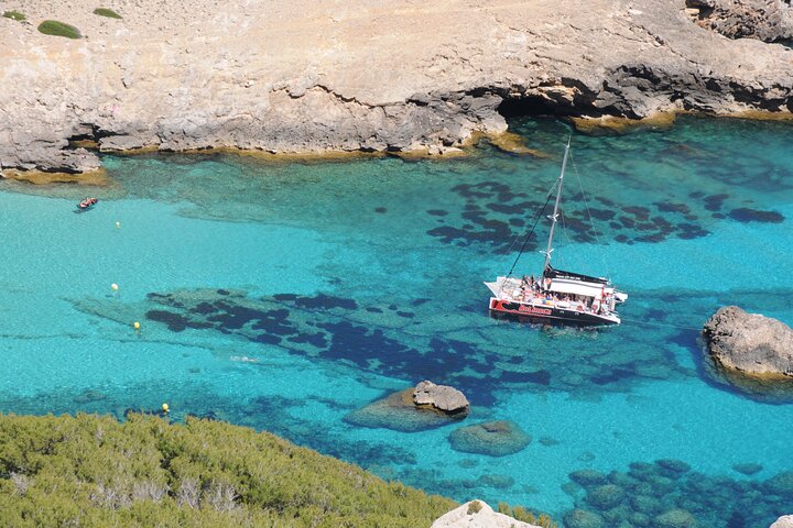
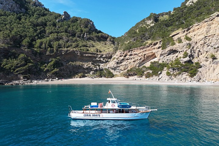
Coll Baix and Caves Guided Tour
1 hfrom199 €
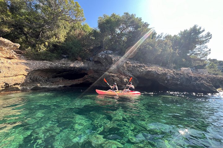
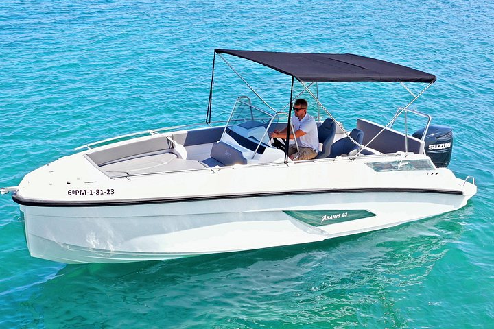
Private Boat Rental Abaris 23 from Alcudia
Full dayfrom720 €
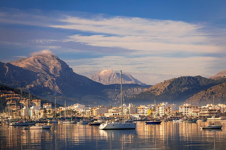
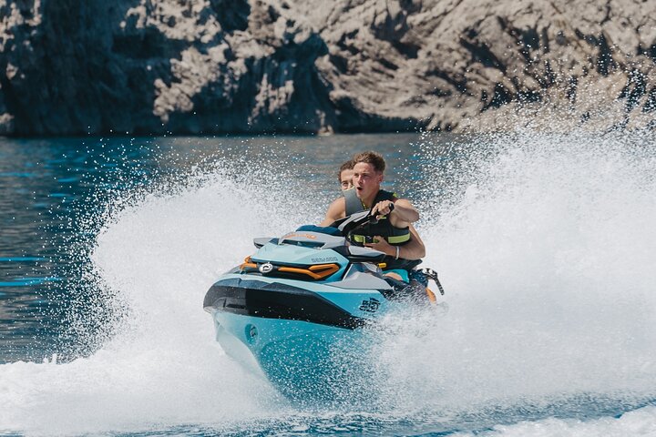
Breathtaking Formentor by Land & Sea and Traditional Market
Full dayfrom57 €
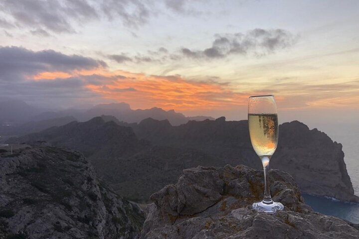
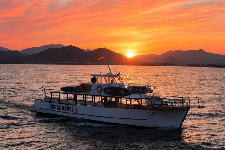
Sunset Tour to Formentor
3 hfrom55 €
Prices are indicative from prices set by each provider. Booking happens on Viator. We earn a commission on bookings made through these links and the price for you stays the same.
Regions
More regions in Mallorca
Frequently asked questions
What is the difference between Alcúdia and Port d'Alcúdia in Mallorca?
Alcúdia is the historic town with the medieval wall. Port d'Alcúdia is the neighbouring harbour and resort on the bay, where most of the hotels are, together with Platja d'Alcúdia, and where the ferry to Menorca departs.
How far is Pollença from Port de Pollença in Mallorca?
The town of Pollença lies about six kilometres inland, west of its harbour, Port de Pollença. Its position away from the coast goes back to protection against pirate raids. Port de Pollença sits directly on the Bay of Pollença.
How do you get to Cap de Formentor in Mallorca?
By the 13.5 kilometre road from Port de Pollença, which passes the Mirador des Colomer and ends at the lighthouse of 1863. The road is narrow and winding. Ask the local authorities whether seasonal access rules apply.
Which municipalities in Mallorca does the beach of the Bay of Alcúdia run through?
The sandy beach of the Bay of Alcúdia runs from Port d'Alcúdia to Can Picafort and passes through three municipalities: Alcúdia, Muro and Santa Margalida. It includes Platja d'Alcúdia and the adjoining Platja de Muro in the neighbouring municipality of Muro.
What is S'Albufera de Mallorca?
S'Albufera de Mallorca is a nature reserve on the Bay of Alcúdia. It formed from an old lagoon separated from the sea by dunes, and covers about 1,650 hectares of wetland.
Is there a ferry from Alcúdia in Mallorca to Menorca?
Yes. The ferry company Baleària states that it links the port of Alcúdia with Ciutadella in Menorca, carrying vehicles. For its fast ferry it gives a route of 61 kilometres and a crossing time of about one hour to one hour and 15 minutes. Timetables and prices are on the operator's site.
Sources
- Wikipedia (EN): Alcúdia, checked on 2/10/2026
- Wikipedia (EN): Pollença, checked on 2/10/2026
- Wikipedia (EN): Port de Pollença, checked on 2/10/2026
- Wikipedia (EN): Cap de Formentor, checked on 2/10/2026
- Wikipedia (EN): S'Albufera de Mallorca, checked on 2/10/2026
- Wikipedia (DE): Platja de Muro, checked on 2/10/2026
- Wikipedia (EN): Mallorca, checked on 2/10/2026
- Wikidata: Einwohner und Fläche der Gemeinden (Abfrage der Einträge am Prüfdatum), checked on 2/10/2026
- Aena: Aeropuerto de Palma de Mallorca, cómo llegar en autobús, checked on 2/10/2026
- Baleària: Fähre Mallorca nach Menorca (Alcúdia und Ciutadella), checked on 2/10/2026
- Wikipedia (EN): Port d'Alcúdia (Koordinaten für die Luftlinie), checked on 2/10/2026
- Wikipedia (EN): Ciutadella de Menorca, checked on 2/10/2026
- Wikipedia (DE): Parc natural de s’Albufera de Mallorca (rund 1.650 Hektar), checked on 2/10/2026
- TIB (Consorci de Transports de Mallorca): Buslinien, Flughafenlinien A32 und A33, checked on 2/10/2026
Written and maintained by the Mallorca Planer editorial team. Independent travel guide, not an official body and not a travel agency.