
Mallorca Planer · Independent travel guide
The south of Mallorca: natural beach, coves and national park
The south of Mallorca has the largely undeveloped beach of Es Trenc, the harbour village of Colònia de Sant Jordi and the coves of the municipality of Santanyí. The national park of the Cabrera archipelago begins offshore.
16 activities34 km straight line to the airport4 places on the map
Photo: Malopez 21, CC BY-SA 4.0, Wikimedia Commons
Stay
Places to stay in South
Pick your dates and compare what is free in this region.
Dates
Adults
Updated on 2/10/2026
In short
The south of Mallorca is the region of natural beaches. Es Trenc, in the municipality of Campos, runs from Sa Ràpita to Colònia de Sant Jordi and lies in the Es Trenc-Salobrar de Campos natural park, which includes salt pans. Colònia de Sant Jordi has the southernmost port on the island and is the closest point to Cabrera National Park. Santanyí, in the south-east, combines coves such as Cala Figuera with Mondragó Natural Park.
Key points
- Es Trenc stretches from Sa Ràpita to Colònia de Sant Jordi, and sea salt is harvested behind the beach.
- Colònia de Sant Jordi belongs to the municipality of Ses Salines and grew from 1879 as an agricultural colony.
- Cabrera National Park dates from 29 April 1991 and covers 908 square kilometres, 895 of them sea.
- The coast of the municipality of Santanyí is about 35 kilometres long.
- Cala Mondragó lies about five kilometres east of Santanyí and has two sandy beaches.
What defines the south of Mallorca
The three municipalities on this page are small: according to Wikidata, Campos has 12,485 residents, Santanyí 13,067 and Ses Salines 5,248 (all 2025). A long natural beach, salt pans and many separate coves set the scene.
If you stay here, plan on a car: the sights are scattered, and in a straight line Palma is just under 40 kilometres from Es Trenc and about 48 kilometres from Santanyí. If you would rather stay inland, read on under finca holidays.
Es Trenc and Colònia de Sant Jordi
Es Trenc is a long sandy beach on the south coast, in the municipality of Campos. It is part of the Es Trenc-Salobrar de Campos Maritime-Terrestrial Natural Park, which the Balearic Islands declared by Law 2/2017 of 27 June 2017 and which also includes the Campos salt pans. The beach stretches from Sa Ràpita in the north-west to Colònia de Sant Jordi in the south-east. The beach is largely left in its natural state, with only a few buildings on the shoreline. Sea salt is harvested in the salt pans behind it.
Colònia de Sant Jordi is the coastal village of the municipality of Ses Salines. Originally a small fishing settlement called Port de Campos, it was developed from 1879 as an agricultural colony and took its present name at that time. The nearby salt lagoons, now called Salines de s'Avall, were already used to extract salt in the 4th century BC. As well as Es Trenc, the beaches of Es Dolç and Es Carbó are close by. Beaches across the island are compared under beaches.
Cabrera National Park
The Cabrera archipelago lies off the south coast and has been protected as a national park since 29 April 1991. According to Wikipedia the park covers 908 square kilometres, of which 895 square kilometres are sea. The islands have no permanent population and belong administratively to Palma. The highest point of the main island is Na Picamosques at 172 metres.
Colònia de Sant Jordi has the southernmost port in Mallorca, which makes it the closest point for the crossing. Access is regulated: boats may not anchor freely in the natural harbour and use laid moorings instead. The park administration gives details of visiting rules and permits. Organised trips are listed under boat trips.
Santanyí and the coves of the south-east
- Santanyí: As well as the main town, the municipality includes Cala d'Or, Portopetro, Cala Figuera, Cala Santanyí and Cala Llombards, among others. Its coast is about 35 kilometres long. The church is known for its 18th-century organ.
- Cala Figuera: A district of Santanyí with a fishing harbour at the end of a fjord-like inlet, about 60 kilometres south-east of Palma. There is no bathing beach in the village.
- Mondragó Natural Park: Cala Mondragó lies about five kilometres east of Santanyí. It has two sandy beaches, Ses Fonts de n'Alís and S'Amarador, and four signposted short walking trails.
- Cala d'Or: A resort on the south-east coast spread across several coves, such as Cala Gran, Cala d'Or and Cala Llonga. Palma and the airport are about 60 kilometres away.
Less well-known corners of the island are collected under quiet places away from the centres.
Getting there and who the south suits
According to Aena, airport bus line A51 runs between Palma airport and Campos (checked on 2 October 2026). Stops, timetables and fares are published by the bus operator. Car hire is practical for beaches and coves outside the villages. Parking rules at natural beaches change, so check with the relevant town council beforehand.
The south suits you if you want natural beaches and quiet and do not need much evening entertainment. For travellers without a car, or with a focus on city and culture, Palma is the better base. The map shows where each region lies.
Getting your bearings
South on the map
- 1. Es TrencBeach · 32 km straight line to the airport
- 2. Colònia de Sant JordiTown · 34 km straight line to the airport
- 3. SantanyíTown · 40 km straight line to the airport
- 4. Cala MondragóBeach · 45 km straight line to the airport
Bookable
Activities in South
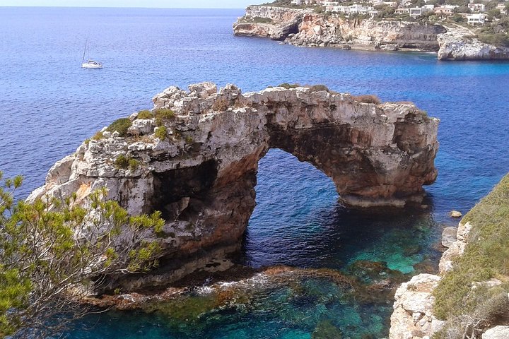
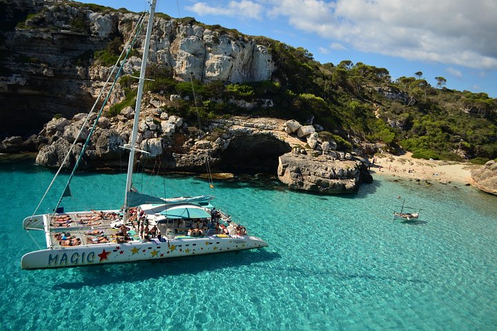
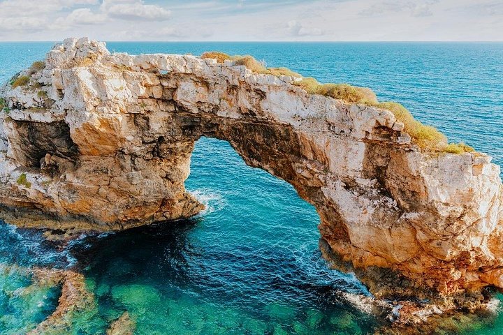
Catamaran Tour Es Trenc - Es Cargol
5 hfrom59 €
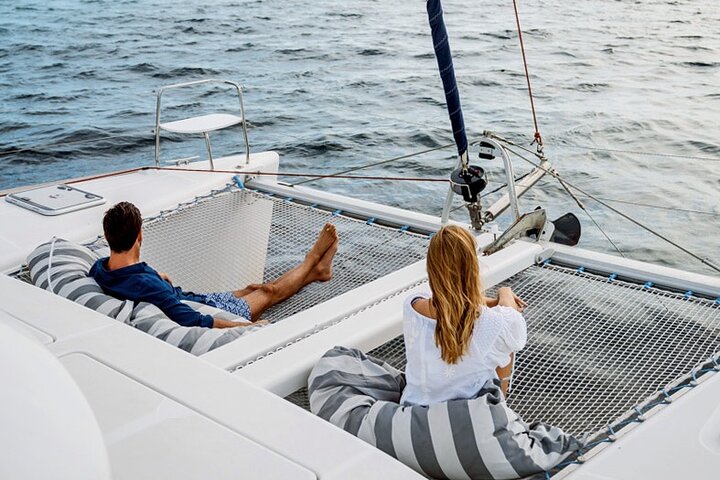
Cala Mondrago Private Sunset Cruise on Catamaran
2 hfrom660 €
Prices are indicative from prices set by each provider. Booking happens on Viator. We earn a commission on bookings made through these links and the price for you stays the same.
Regions
More regions in Mallorca
Frequently asked questions
Where is Es Trenc beach in Mallorca?
Es Trenc is on the south coast of Mallorca, in the municipality of Campos. The beach stretches from Sa Ràpita in the north-west to Colònia de Sant Jordi in the south-east and is part of the Es Trenc-Salobrar de Campos Maritime-Terrestrial Natural Park, which has existed since Law 2/2017. Palma is just under 40 kilometres away in a straight line.
Is Es Trenc beach in Mallorca built up?
Hardly. According to Wikipedia the beach of Es Trenc is largely left in its natural state, with only a few buildings on the shoreline. Behind the beach are dunes and salt pans where sea salt is harvested. The area has been protected as a natural park since 2017.
Where in Mallorca do you leave from for Cabrera National Park?
Colònia de Sant Jordi has the southernmost port in Mallorca, so it is the closest departure point for Cabrera. The archipelago has been a national park since 29 April 1991, and access is regulated. The park administration publishes visiting rules and permits, and each operator publishes its timetable.
How big is Cabrera National Park off Mallorca?
According to Wikipedia, the Cabrera Archipelago National Park covers 908 square kilometres, of which 895 square kilometres are sea. It was created by law on 29 April 1991. The islands are uninhabited and belong administratively to the city of Palma.
Which places belong to Santanyí in Mallorca?
The municipality of Santanyí in the south-east of Mallorca includes the main town, Calonge, S'Alqueria Blanca and Es Llombards, and on the coast Cala d'Or, Portopetro, Cala Figuera, Cala Santanyí and Cala Llombards. The coast of the municipality is about 35 kilometres long, and Mondragó Natural Park is also here.
What is Cala Mondragó in Mallorca?
Cala Mondragó is a bay in Mondragó Natural Park, about five kilometres east of Santanyí. It has two sandy beaches, Ses Fonts de n'Alís and S'Amarador, and four signposted short walking trails.
Sources
- Wikipedia (EN): Es Trenc, checked on 2/10/2026
- Wikipedia (DE): Es Trenc, checked on 2/10/2026
- Viquipèdia (CA): Colònia de Sant Jordi, checked on 2/10/2026
- Wikipedia (EN): Cabrera Archipelago Maritime-Terrestrial National Park, checked on 2/10/2026
- Wikipedia (EN): Cabrera, Balearic Islands, checked on 2/10/2026
- Wikipedia (EN): Santanyí, checked on 2/10/2026
- Wikipedia (DE): Cala Mondragó, checked on 2/10/2026
- Wikipedia (EN): Cala Figuera, checked on 2/10/2026
- Wikipedia (EN): Cala d'Or, checked on 2/10/2026
- Wikidata: Einwohner und Fläche der Gemeinden (Abfrage der Einträge am Prüfdatum), checked on 2/10/2026
- Aena: Aeropuerto de Palma de Mallorca, cómo llegar en autobús, checked on 2/10/2026
- Govern de les Illes Balears: Parque Natural Maritimoterrestre es Trenc-Salobrar de Campos (Ley 2/2017), checked on 2/10/2026
Written and maintained by the Mallorca Planer editorial team. Independent travel guide, not an official body and not a travel agency.