
Mallorca Planer · Independent travel guide
Serra de Tramuntana: an overview of Mallorca's mountain coast
The Serra de Tramuntana runs from south-west to north-east along the north-west coast of Mallorca. Since 2011 its cultural landscape of terraces, dry-stone walls and water channels has been on the UNESCO World Heritage List.
58 activities24 km straight line to the airport8 places on the map
Photo: Heuschrecke (Dmitry Tonkonog and Ksenia Fedosova), CC BY-SA 3.0, Wikimedia Commons
Stay
Places to stay in Serra de Tramuntana
Pick your dates and compare what is free in this region.
Dates
Adults
Updated on 2/10/2026
In short
The Serra de Tramuntana is the mountain range in the north-west of Mallorca and has been a UNESCO World Heritage cultural landscape since 27 June 2011. Its highest peak is Puig Major at 1,436 metres. The best-known places are Sóller with its train and tram, Valldemossa with its charterhouse and the artists' village of Deià. From Palma you reach Sóller by heritage railway or by road through a tunnel.
Key points
- UNESCO World Heritage since 2011: a 30,745 hectare property with a 78,617 hectare buffer zone.
- Puig Major (1,436 metres) is a military zone, so the highest accessible peak is Puig de Massanella at 1,364 metres.
- The tram from Sóller to Port de Sóller is 4.868 kilometres long and has run since October 1913.
- Frédéric Chopin and George Sand spent the winter of 1838 to 1839 in the Valldemossa Charterhouse.
- The mountains record up to 1,507 millimetres of rain a year, against less than 400 in other parts of the island.
What defines the Serra de Tramuntana
The Serra de Tramuntana forms the northern backbone of Mallorca. UNESCO describes it as a cultural landscape on a sheer-sided range parallel to the north-west coast: over centuries people made the terrain workable with terraces, dry-stone walls, water mills and an interconnected system of channels and storage basins. Arab water technology and the land division that followed the Christian conquest in the 13th century work together here.
The highest point is Puig Major, in the municipality of Escorca. Wikidata and Wikipedia give 1,436 metres, while other references, including the Encyclopaedia Britannica, give 1,445 metres. The summit is a military zone, so Puig de Massanella at 1,364 metres counts as the highest accessible mountain. The climate is clearly wetter and cooler than in the rest of the island, and a few days of snow in winter are not unusual.
Towns and places in the Tramuntana
- Sóller: The town lies in a wide valley bowl, three kilometres inland from Port de Sóller. Its centre is Plaça Constitució, with the church of Sant Bartomeu and the Banco de Sóller, a Modernista building from 1912. The municipality has 13,882 residents (2025) according to Wikidata. The village of Fornalutx and the hamlet of Biniaraix share the same valley.
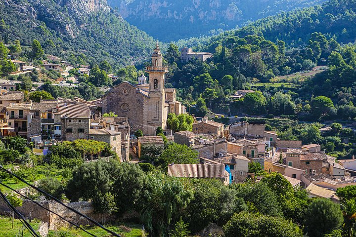
- Valldemossa: The village is known for its charterhouse. King Martin of Aragon gave the former royal palace to the Carthusians in 1399, and they stayed until 1835. Frédéric Chopin and George Sand lived here in the winter of 1838 to 1839, and one cell is now a museum.
- Deià: This small village above the sea drew writers and musicians after the First World War. The English poet Robert Graves lived here until his death and his house is a museum. The municipality has 741 residents (2025).
- Santuari de Lluc: The monastery in Escorca sits at 525 metres in a basin and is considered the most important pilgrimage site on Mallorca. It was founded in the 13th century, and the boys' choir Els Blauets dates from 1531.
- Sa Calobra: A single winding road leads to this small port village, designed by Antonio Parietti and opened in 1933. It crosses the Coll dels Reis at 682 metres and includes a bridge with a 270 degree loop.
Getting there: train, tram and road
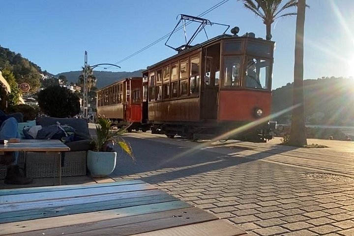
The Ferrocarril de Sóller links Palma with Sóller. The electric narrow-gauge railway, with a 914 millimetre gauge, stops at Son Sardina and Bunyola among other places and passes through 13 tunnels. In Sóller the tram to Port de Sóller connects with it: 4.868 kilometres long, single track with passing loops, opened on 4 October 1913. It is one of only two first-generation tramways to survive in Spain. Timetables and fares are published by the operating company, Ferrocarril de Sóller.
By car you reach Sóller from Palma on a road with a tunnel. The mountain road between Andratx and Pollença also runs through the Sóller valley and links the coastal villages. In a straight line Valldemossa is about 16 kilometres and Sóller about 22 kilometres from Palma, and driving distances are longer because of the bends. The map gives an overview of all regions.
Hiking and weather
The Tramuntana is the island's high mountain range and so the obvious hiking area. The protection instruments listed by UNESCO include a dedicated plan for the Dry-Stone Route. You will find routes by difficulty under hiking in Mallorca.
Expect different weather in the mountains than on the coast: according to Wikipedia, up to 1,507 millimetres of rain fall here each year, while other parts of the island stay below 400 millimetres. See best time to visit for which activity fits which season.
Who the Tramuntana suits
The region suits you if you want mountains, villages and views and do not mind winding roads. Valldemossa and Sóller work well as day trips from Palma, and with the train and tram you can do them without car hire. If you stay several days, choose Sóller or Port de Sóller, the largest of these places, or a finca in the valleys.
For a pure beach holiday this coast is less suitable, because it is steep and rocky. Sandy beaches are found in the north, east and south, see beaches.
Getting your bearings
Serra de Tramuntana on the map
- 1. SóllerTown · 24 km straight line to the airport
- 2. FornalutxTown · 26 km straight line to the airport
- 3. Port de SóllerPort · 27 km straight line to the airport
- 4. DeiàTown · 23 km straight line to the airport
- 5. Puig MajorNature · 29 km straight line to the airport
- 6. ValldemossaTown · 20 km straight line to the airport
- 7. Sa CalobraSight · 34 km straight line to the airport
- 8. Lluc sanctuarySight · 33 km straight line to the airport
Bookable
Activities in Serra de Tramuntana
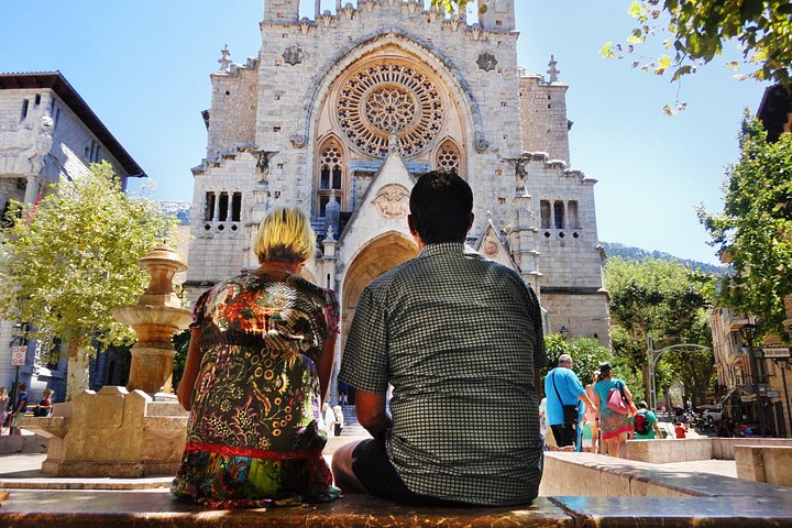
Valldemosa and Valley of Soller Tour in Mallorca
Full dayfrom49 €
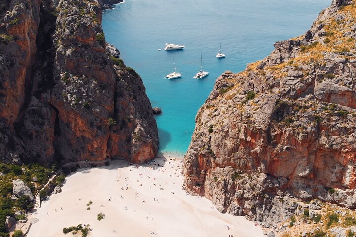
Mallorca Grand Tour by land & sea: Valldemossa, Soller & Calobra
Full dayfrom82 €
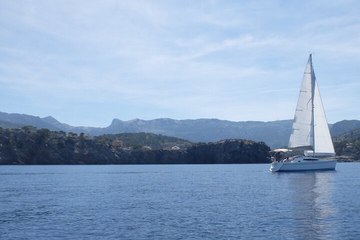
Half day private boat trip in Port de Soller
4 hfrom850 €
Jardines de Alfabia Tickets
5 hfrom10 €
Prices are indicative from prices set by each provider. Booking happens on Viator. We earn a commission on bookings made through these links and the price for you stays the same.
Regions
More regions in Mallorca
Frequently asked questions
Since when has the Serra de Tramuntana in Mallorca been a UNESCO World Heritage site?
The Cultural Landscape of the Serra de Tramuntana was inscribed on the World Heritage List on 27 June 2011. UNESCO lists it as a cultural landscape under criteria ii, iv and v, with a 30,745 hectare property and a 78,617 hectare buffer zone.
How high is the highest mountain in Mallorca's Serra de Tramuntana?
Puig Major, at 1,436 metres, is the highest mountain in Mallorca and in the Balearic Islands, though other sources, including the Encyclopaedia Britannica, give 1,445 metres. The summit is a military zone. The highest accessible peak is Puig de Massanella at 1,364 metres.
How do you get from Palma de Mallorca to Sóller?
Either on the Ferrocarril de Sóller, an electric narrow-gauge railway through 13 tunnels, or by car on the road with a tunnel. In Sóller a tram continues to Port de Sóller. Timetables and fares are published by the railway company.
What is the Valldemossa Charterhouse in Mallorca?
It is a former Carthusian monastery that grew out of a royal palace. The monks lived here from 1399 to 1835. In the winter of 1838 to 1839 Frédéric Chopin and George Sand rented one of the cells, which is now a museum.
What is Deià in Mallorca known for?
Deià is a small village in the Serra de Tramuntana with 741 residents (2025). It is known for its writers and musicians, above all the English poet Robert Graves, whose home is now a museum.
How long is the tram from Sóller to Port de Sóller in Mallorca?
The Sóller tram line is 4.868 kilometres long. It opened on 4 October 1913, was electrified from the start and belongs to the same company as the railway between Palma and Sóller.
Sources
- UNESCO World Heritage Centre: Cultural Landscape of the Serra de Tramuntana, checked on 2/10/2026
- Wikipedia (EN): Serra de Tramuntana, checked on 2/10/2026
- Wikidata: Puig Major (Q587189), Höhe, checked on 2/10/2026
- Wikipedia (EN): Mallorca, checked on 2/10/2026
- Wikipedia (EN): Sóller, checked on 2/10/2026
- Wikipedia (EN): Ferrocarril de Sóller, checked on 2/10/2026
- Wikipedia (EN): Tranvía de Sóller, checked on 2/10/2026
- Wikipedia (EN): Valldemossa Charterhouse, checked on 2/10/2026
- Wikipedia (EN): Deià, checked on 2/10/2026
- Wikipedia (EN): Santuari de Lluc, checked on 2/10/2026
- Wikipedia (EN): Sa Calobra, checked on 2/10/2026
- Wikidata: Einwohner und Fläche der Gemeinden (Abfrage der Einträge am Prüfdatum), checked on 2/10/2026
- Encyclopaedia Britannica: Majorca (Puig Major, 1.445 m), checked on 2/10/2026
Written and maintained by the Mallorca Planer editorial team. Independent travel guide, not an official body and not a travel agency.